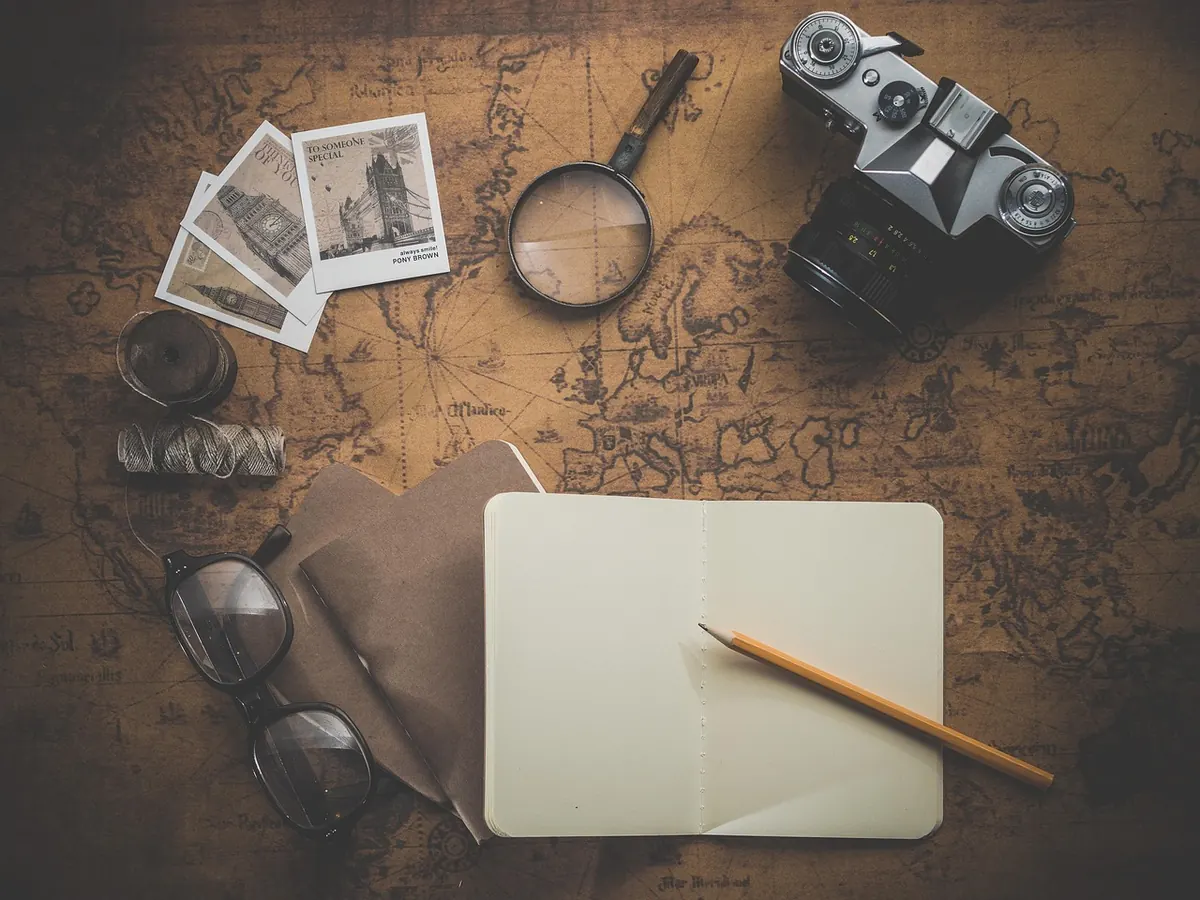


Ask three people for directions to the same trailhead and you'll get three answers: "past the old barn", "about twenty minutes from the village", and "46.2044, 6.1432". Only the last one still works if the barn has been knocked down and your sense of twenty minutes is optimistic. Coordinates simply name a place precisely enough that anyone with a map can find it, and they're far less mysterious than all those decimal places suggest. What follows is the version I wish someone had handed me years ago: what the numbers mean, which one comes first, and how to turn a string of digits into a hillside you can actually stand on.
What the Two Numbers Actually Measure
Every coordinate pair answers two separate questions. Latitude asks how far north or south of the equator you are. Longitude asks how far east or west of the prime meridian — the line through Greenwich — you are.
Latitude runs from 0° at the equator to 90° at each pole, so it can never exceed 90. Northern values are positive, southern ones negative. Lines of latitude are parallel, and a degree of latitude covers roughly 111 kilometres everywhere, which is why they make such dependable reference lines.
Longitude runs from 0° at Greenwich out to 180° east and 180° west, meeting at the international date line. Eastern values are positive, western ones negative. Longitude lines converge at the poles, so a degree of longitude is about 111 kilometres at the equator and shrinks steadily as you move north or south. Three decimal places in latitude is a distance you can pace out; the same three places in longitude near the Arctic Circle is a much shorter walk.
Three Formats You Will Meet
Coordinates appear in three main formats, and most confusion comes from mixing them.
- Decimal degrees (DD): 46.2044, 6.1432. One number each, no symbols, with negatives for south and west.
- Degrees and decimal minutes (DDM): 46°12.264' N, 6°08.592' E. Common on boats and in aviation.
- Degrees, minutes, seconds (DMS): 46°12'16" N, 6°08'36" E. The format on older maps and plenty of official documents.
Converting between them is napkin arithmetic: one degree is 60 minutes, and one minute is 60 seconds. Take 0.2044 of a degree, multiply by 60, and you get 12.264 minutes. Take the 0.264 of a minute, multiply by 60 again, and you get 15.8 seconds — so 46.2044° becomes 46°12'15.8" N. Going the other way, add minutes divided by 60 and seconds divided by 3600.
Two habits save trouble. Always write the hemisphere letter or the sign, never neither. And never write 46°12.264' 16" — a value can carry decimal minutes or decimal seconds, not both.
The Reading Order Rule (and the Exception)
Latitude comes first. North–south before east–west. A pair written 46.2044, 6.1432 means 46.2044° N, 6.1432° E — Geneva. Swap them and you land in the Indian Ocean, which is a memorable way to discover the mistake two hours into a drive.
A quick check: if the first number is above 90, it cannot be a latitude, so the pair is either reversed or written longitude-first. Some file formats and programming tools (GeoJSON, for one) store longitude first because they borrow the mathematical x, y convention. Glance at the label above the numbers rather than trusting the order blindly.
And when you read a coordinate aloud or write it on a form, name the hemisphere. "Forty-five, six" tells the person at the other end almost nothing.
Turning Digits Into a Place: A Short Workflow
Whether you're using a phone app or a paper map, the same five steps carry you from text string to location:
- Identify the format. Look for degree symbols, apostrophes, quotation marks, N/S/E/W letters, or plain decimals.
- Convert to decimal degrees if needed, keeping the sign convention: north and east positive, south and west negative.
- Confirm the order. Latitude then longitude, unless your tool explicitly wants longitude first.
- Sanity-check the values. Latitude falls between −90 and 90; longitude between −180 and 180. A pair like 122.4, 37.8 is almost certainly longitude-first, and lands in San Francisco.
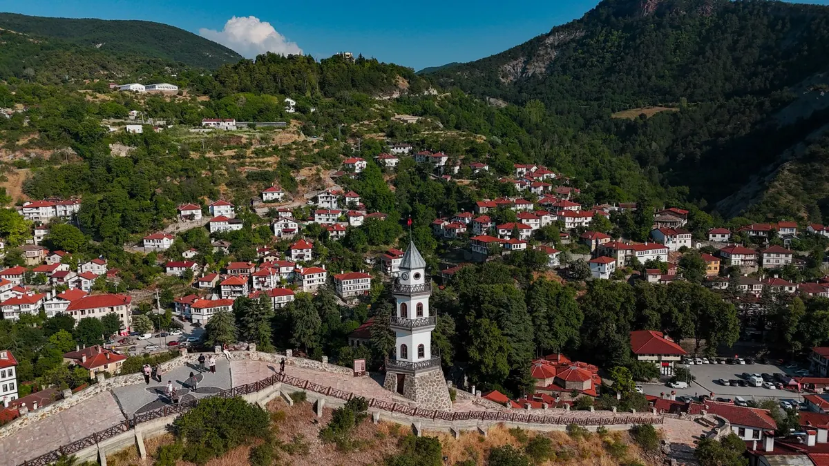
- Plot it, then zoom out. If the pin sits in open water when you expected a hill town, stop and re-check before doing anything else.
Finding Coordinates for a Place You Can See
Going the other direction is easier than most people expect. On the desktop version of most mapping services, right-clicking a point and choosing the coordinate option copies a pair to your clipboard. Mobile apps usually offer the same through a long-press menu.
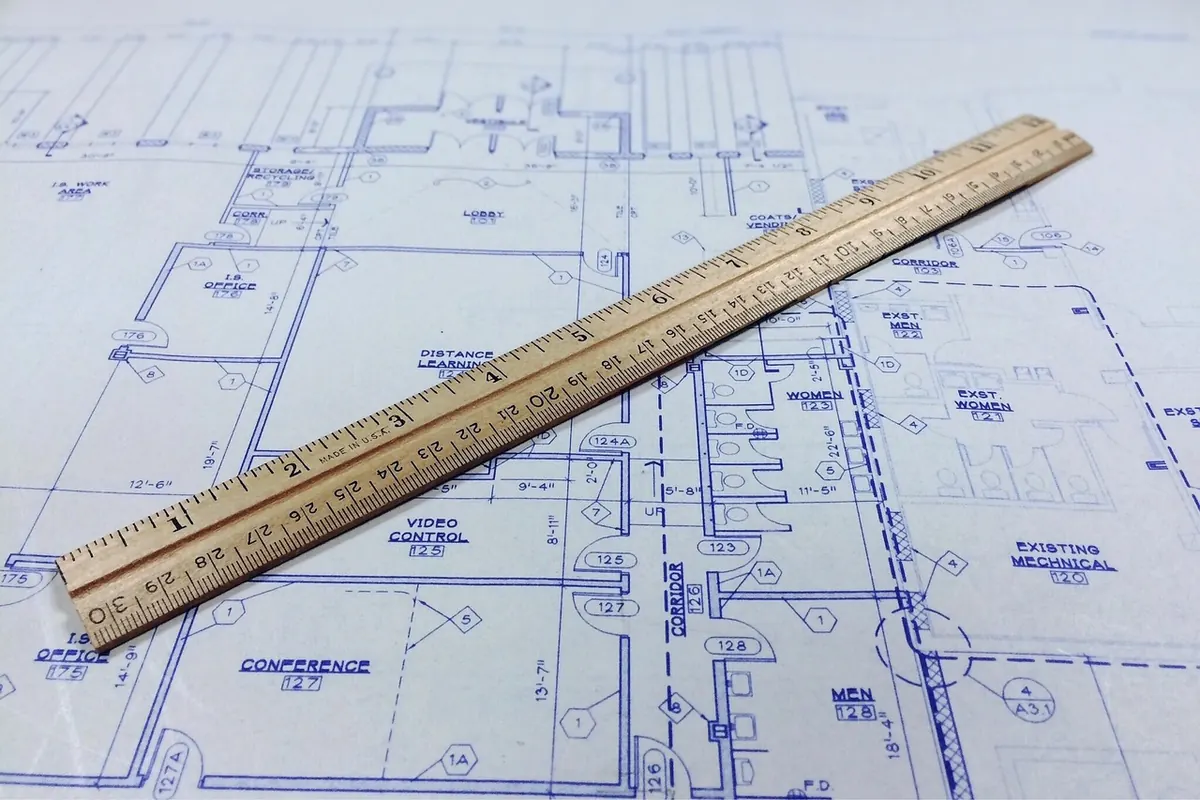
On paper it takes more care. Find the nearest labelled grid lines, measure how far your point sits between them with a ruler, and convert that fraction into minutes and seconds. A minute of latitude is about 1.85 kilometres; a minute of longitude at 45° is nearer 1.3. A careful measurement with a decent ruler gets you within a few hundred metres — enough to find a building, not enough to find a particular doorway.
For anything that matters — a survey boundary, a dive site, a property line — record the datum alongside the numbers. WGS84 is the default in consumer GPS, but older maps may use a local system, and the offset between them can be large enough to matter.
Mistakes That Move You Miles Away
- Swapping the order. The single most common error, and the easiest to catch with a magnitude check.
- Losing the sign. Writing 33.87 instead of −33.87 puts Sydney in the Mediterranean.
- Rounding too hard. One hundredth of a degree of latitude is about 1.1 kilometres. Three decimals gets you to roughly 110 metres; four to about 11.
- Mixing decimal minutes with seconds. The numbers look plausible and are wrong by a kilometre or more.
- Trusting a screenshot. Copy the text, and note both the format and the datum while you still remember them.
Practice This Week
Pick one place you know well — your home, a favourite viewpoint, a friend's address. Drop a pin on a map, copy the coordinates, and write them out in all three formats. Then convert one back by hand. Ten minutes, and it sticks in a way that reading never does.
Then reverse it. Take a coordinate you've never looked up, paste it into a map, and zoom out slowly before zooming in. Watching a number become a coastline is the fastest way to understand what the format is for. After a couple of rounds, 46°12'16" N, 6°08'36" E stops looking like code and starts looking like a place.
Photo: Ghinzo / Pixabay