
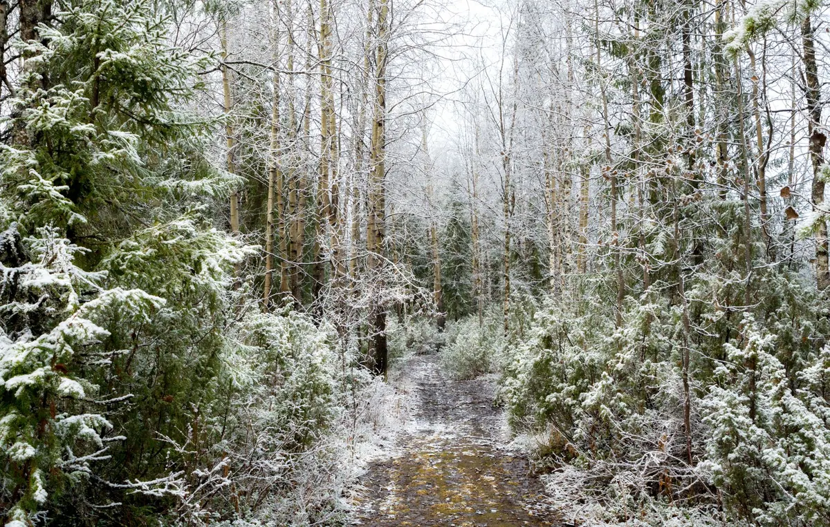
Ten minutes into a winter climb above the treeline, the map in your hand stops matching the world. The jeep track you planned to follow has vanished under a metre of snow, and the boulder field that should sit to your left is now a smooth white slope. Nothing is wrong with the survey. Winter simply redraws the ground, and the habits that serve you well in July need adjusting before you set off.
The Map Hasn't Changed. The Ground Has.
Snow is a smoothing filter. It fills ditches, buries walls and boulders, rounds off the shoulders of a path and turns a rough pasture into something that looks like every other white slope. It also bends small conifers into shapes that mimic terrain, and it hides the difference between a maintained trail and open ground. What was obvious in summer is now a guess.
The practical consequence is a change of strategy. Instead of hunting for individual features, you build your position from shapes that survive the snow: ridgelines, saddles, the fall line of a bowl, the shoulder where a spur drops away. Three of those in agreement is worth more than ten small features you think you recognise. Short winter daylight also means less margin for wandering, so identify your anchors early, from a place you are certain about.
Contours First, Everything Else Second
Contours are the part of the map snow cannot erase. On a winter route they stop being background information and become the primary text. Read the spacing: tight contours mean steep ground, wide spacing means a ramp. Then read the form. A spur points downhill and feels convex underfoot, with ground falling away on two sides. A reentrant is concave, a drainage gathering water and snow, and it will often look like an inviting gentle slope when it is nothing of the kind. Counting contours — index lines every fifth one, in most mountain mapping — gives you elevation gain between features, which is often the only reliable progress measure you have.
This matters beyond route-finding. Slope angle and aspect read off a contour pattern tell you where wind has loaded snow and where it has scoured it. That is planning information, not a safety assessment. If you travel in avalanche terrain, take a proper course, carry a transceiver, probe and shovel, and read the bulletins before you leave. A map is a tool within that discipline, never a substitute for it.
Trail Markers: Look Higher Than You're Used To
Painted waymarks and blazes are placed for summer walkers. In a deep snow year, the bottom of a marker post can be a metre or two under the surface, and the cairn that guided you last winter is a lump you walk straight past. Look up, not along. Red-and-white paint on rock, once the rock is exposed, is still the most dependable signal on marked routes; tree blazes survive but the trees themselves thin out as you climb. On established winter routes you may find wands or poles marking the line, and these are worth following where they exist.
A rough hierarchy helps when signals conflict:
- Terrain shape — always present, always consistent with the map.
- Painted waymarks and blazes — reliable where visible, but only at intervals.
- Marker posts and wands — useful, but check they belong to your route, not a neighbouring one.
- Tracks in the snow — the least trustworthy of all. They may be old, or someone else's error.
- GPS — a good cross-check, poor as a sole authority. Cold drains batteries fast; keep the device in an inside pocket.
What Snow Buries, and What It Reveals
Streams, ditches, low walls, fence lines and the tread of the path all disappear. That is the obvious list. Less obvious is that snow moves the edge of things: a ridgeline with a cornice overhanging it means the crest you stand on is not where the map's crest line runs. Treat the last few metres of any lee-side ridge as borrowed ground.
Frozen lakes and ponds are the tempting exception. A flat white expanse across a basin can cut an hour off a route, and it can also be the most dangerous shortcut on the map. Ice thickness varies with current, inflow and snow cover, and you cannot read it from a contour line. Unless you have local knowledge and proper ice assessment, walk the shore.
Snow also reveals things. Old roads show up as unnaturally straight corridors through the trees. Terraces, abandoned field boundaries and the faint steps of a switchback appear as shadow lines in low sun. Vegetation is your elevation gauge: the last stunted larches, the band where scrub gives way to grass, the edge of the forest — all of these translate directly to contour intervals and can confirm a height when cloud hides the summits.
Distance, Direction, and the Discipline of Checking
You move slower on snow. Recalibrate your pace honestly before you need the number: count double steps over a measured kilometre on flat ground, then add time for breaking trail, for crust, for climbing. A route that takes four hours in summer can take six in winter, and the daylight you planned around has not stretched to compensate.
Take bearings while you are still certain of your position, not after doubt sets in. Then use the three-part habit that keeps winter navigation calm:
- Handrail — something you can follow, such as a stream, a forest edge or a ridge, even if it wanders.
- Catching feature — a distinct thing you would hit if you drifted, like a lake shore or a road junction.
- Backstop — a boundary you cannot cross without noticing, so an error becomes visible rather than silent.
An altimeter is genuinely useful in flat light, when slope shape disappears and every direction looks the same. Set it at a known elevation, then check it against the contour you believe you are on; when the two disagree, trust the map and investigate. And remember the difference between grid north and magnetic north — the declination printed in the map margin is still there in winter.
Prepare the Map Before You Leave the Car
A pristine map in a whiteout is a difficult object. A marked one is a plan. Print or carry the largest scale you can manage comfortably, seal it in a case, and spend ten minutes at the trailhead with a pencil. Mark the route, but also mark the escape routes, the points where you would turn around, the creek crossings that will be buried, and the bearings and distances between your main anchors. Write the time of sunset in the margin. Note the altitude of the treeline and of your high point. This is cheap work in warm hands and it pays for itself the moment the cloud drops.
A Short Pre-Departure Ritual
Before you fold the map away, run through the same five questions every time. Which three terrain shapes will confirm my position if everything else is white? Where do I turn around, and at what time? Which waymarks or wands should I expect, and at what height? What is my handrail, my catching feature and my backstop? And who knows my route and my return time? Answer them out loud, add the avalanche bulletin and the daylight window, and then go. Winter rewards the walker who expects the map to be right and the ground to be strange.
Photo: Сергей Терентьев / Pexels